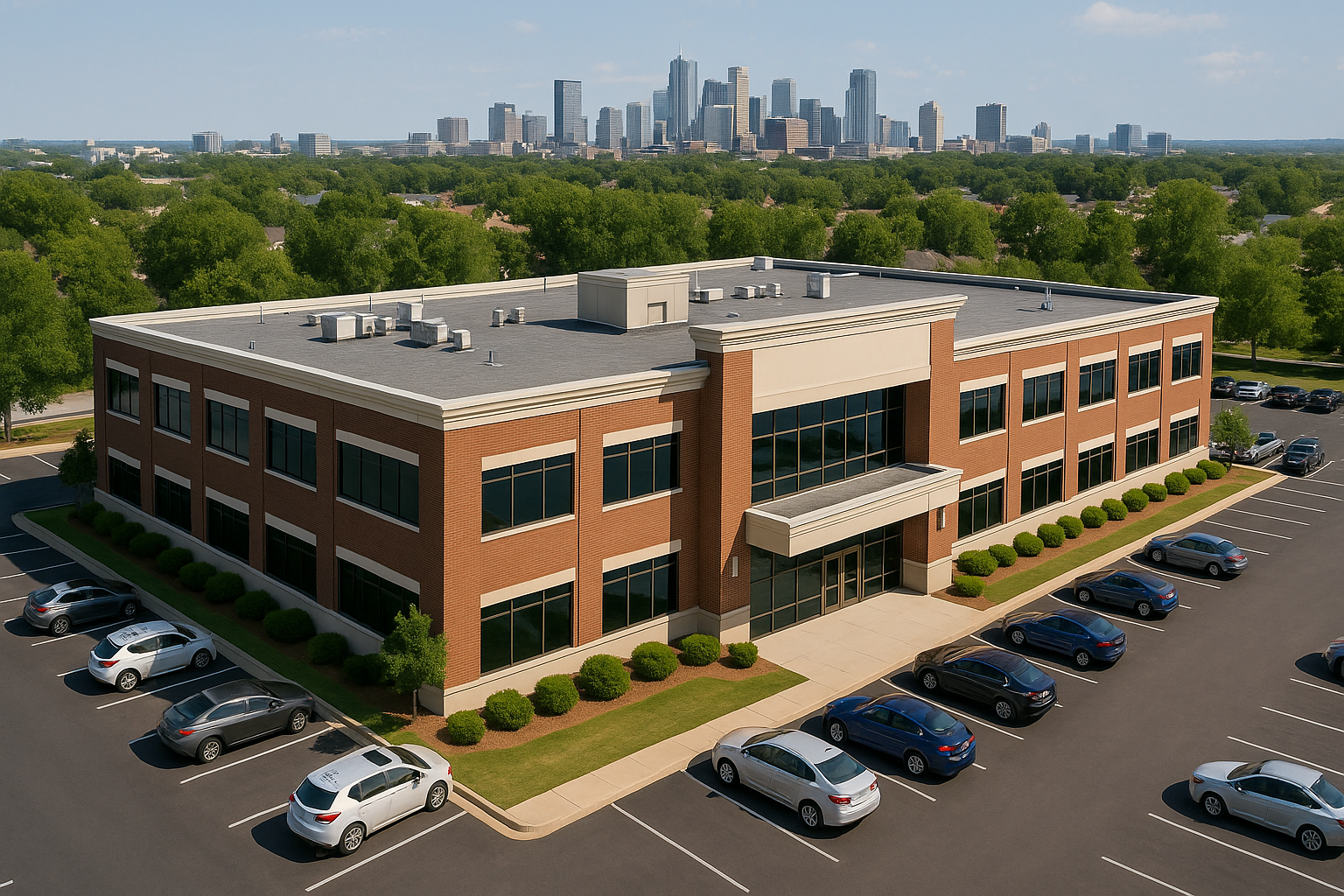
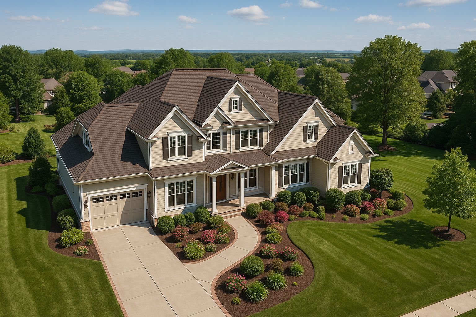
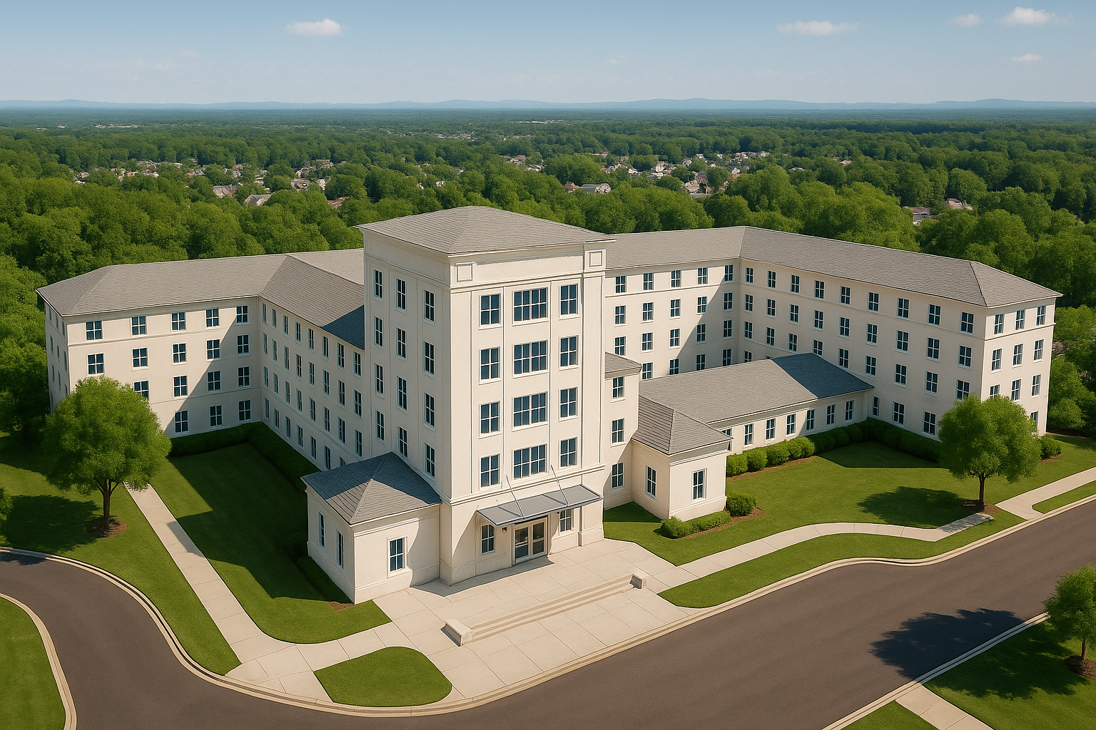
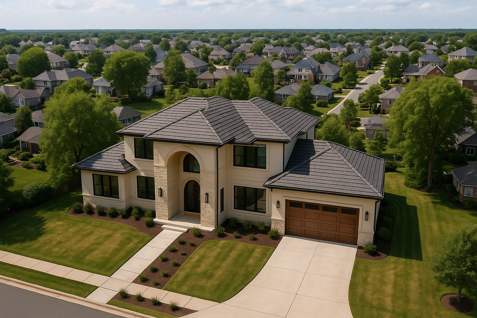
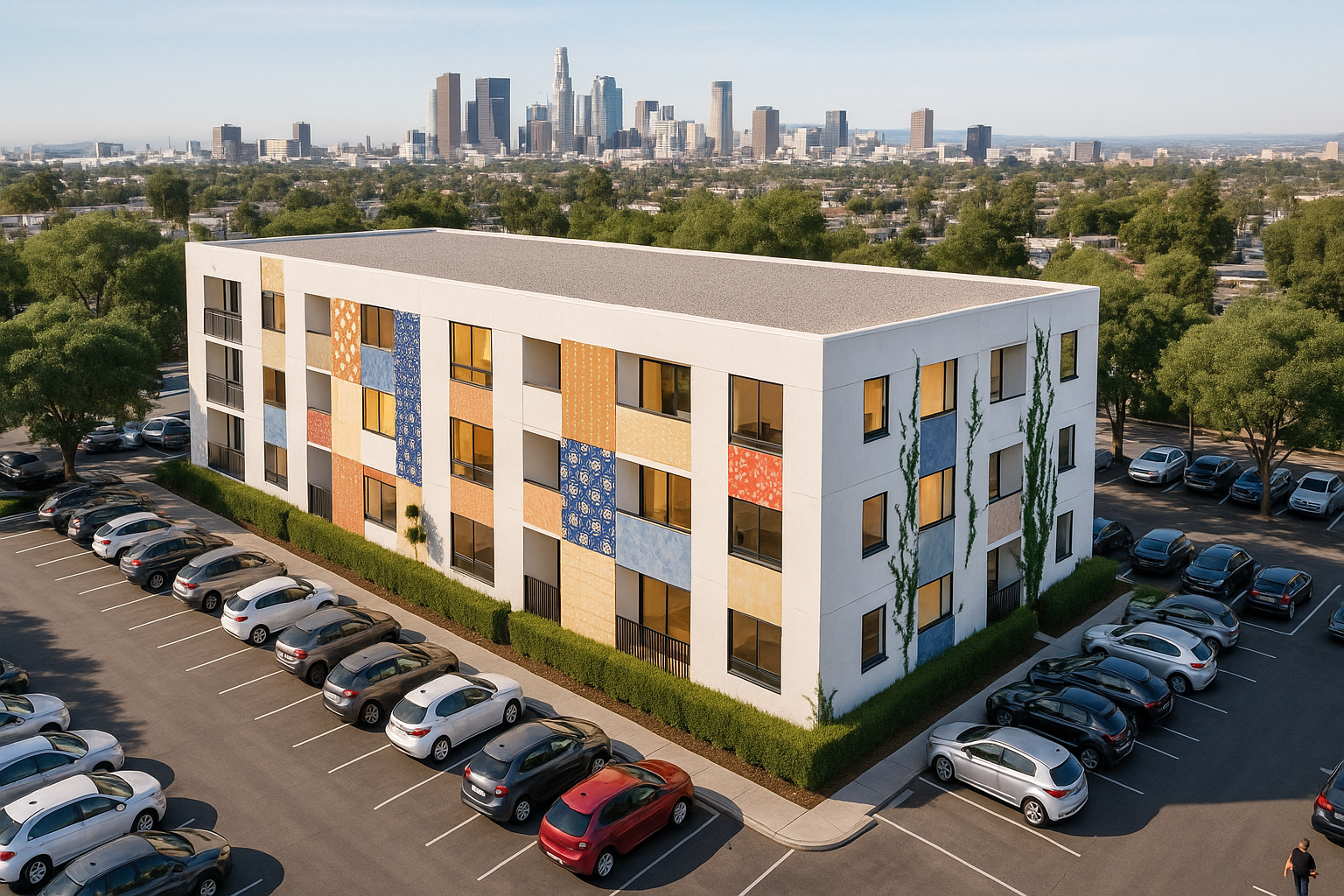
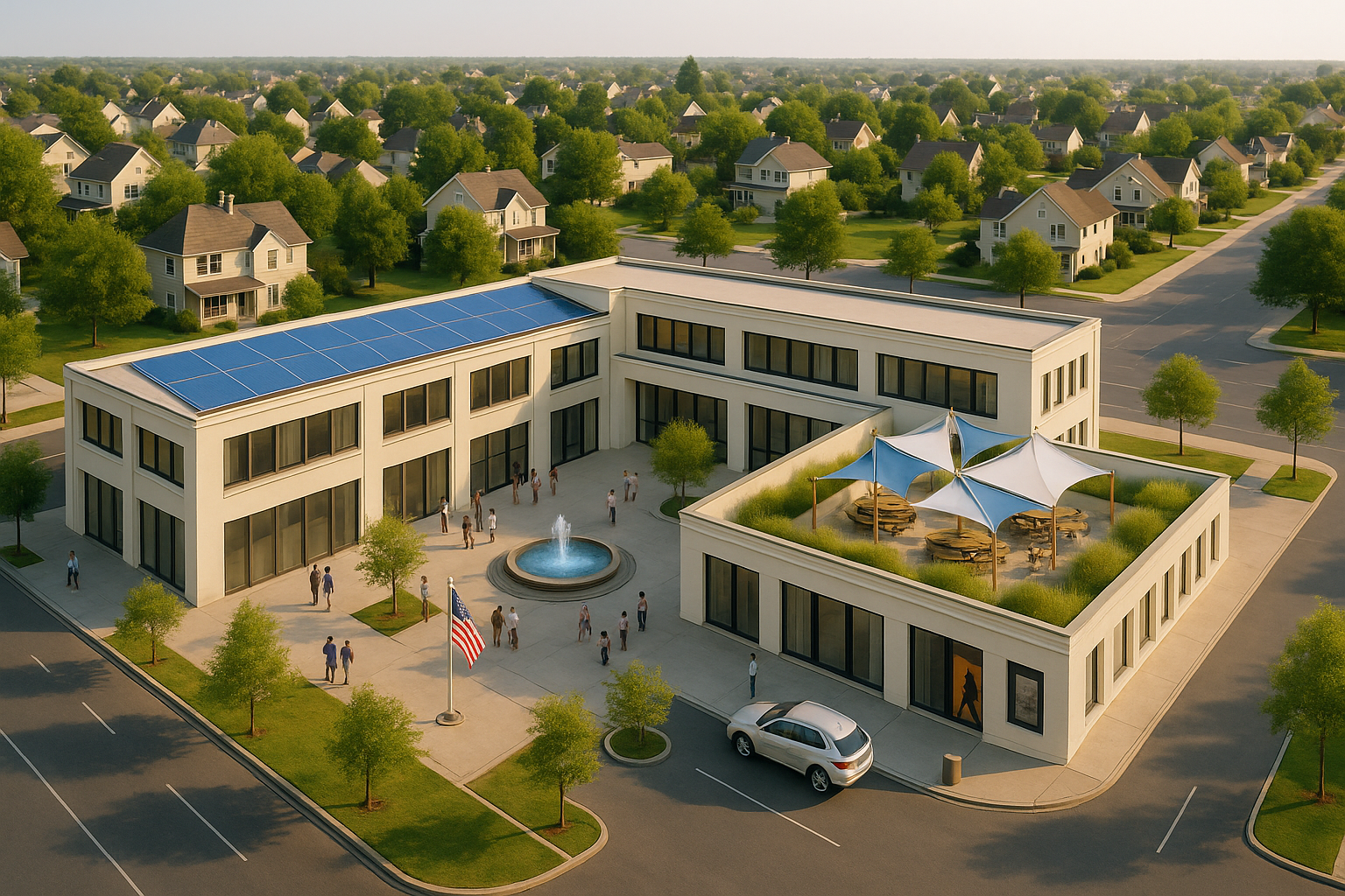
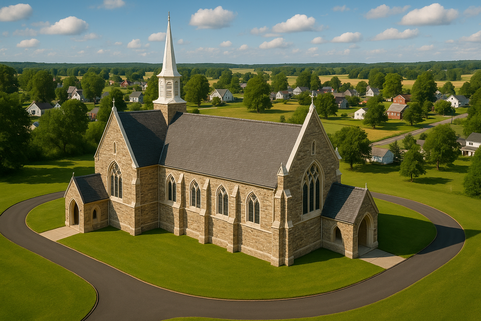
Aerial View
Renderings
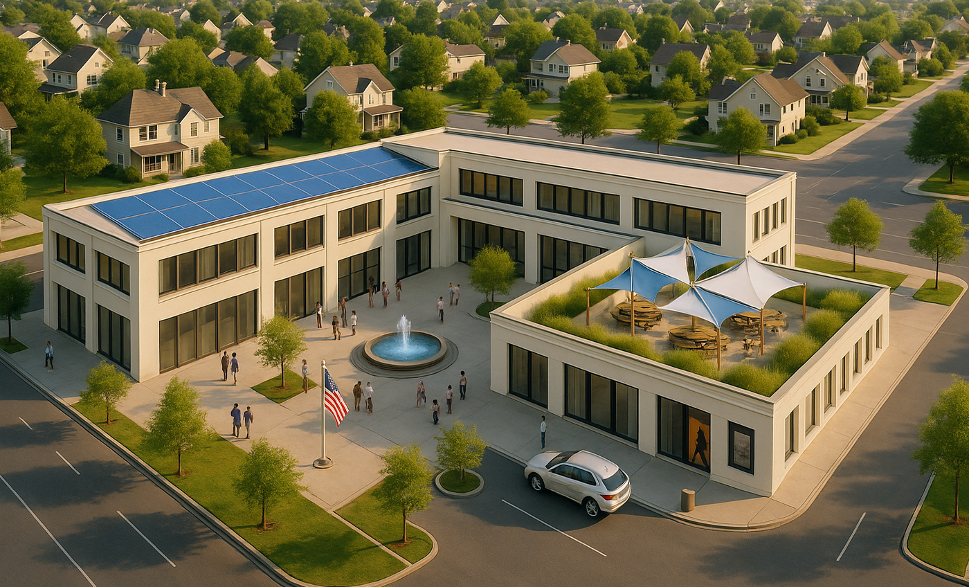
Aerial view renderings provide a detailed bird's-eye perspective of architectural designs, highlighting
buildings or developments within their broader environment. Perfect for large-scale projects,
landscapes, and urban planning, these renderings help clients and stakeholders visualize how structures
interact with their surroundings. Offering a realistic and immersive representation, they play a crucial
role in guiding design decisions and significantly enhancing marketing, promotional, and project
development efforts.
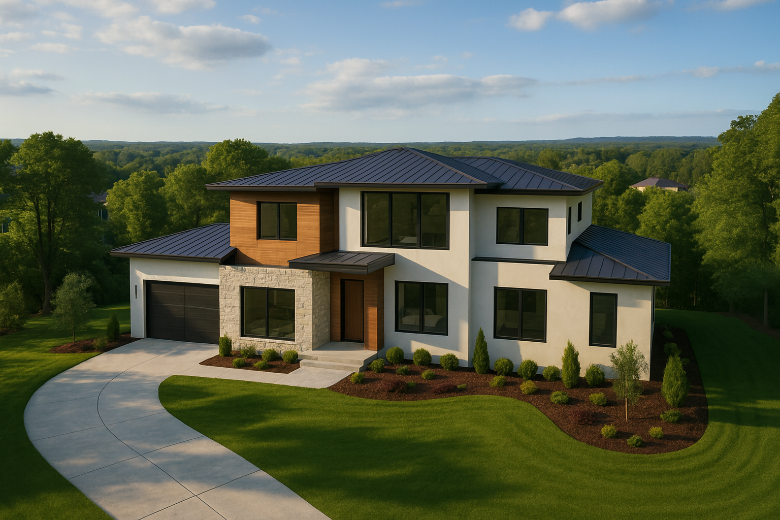
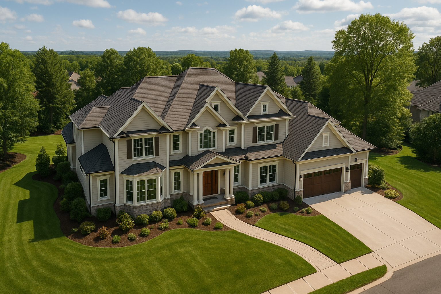
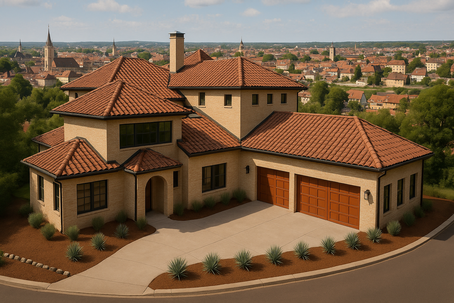
Realistic Visuals
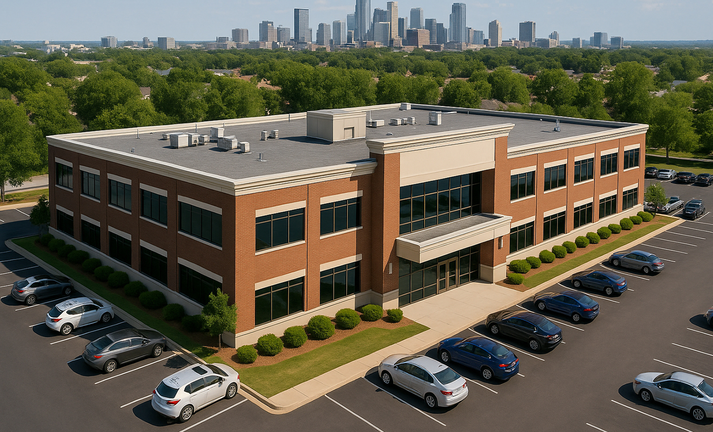
Your aerial view renderings offer stunning, photo-realistic imagery with precise detailing, showcasing
the full scale of your project. Whether you're working on a residential development, commercial complex,
or mixed-use project, our high-quality visuals capture every detail, from the materials used to the
surrounding landscape, creating an immersive experience for potential investors, buyers, and other
stakeholders.
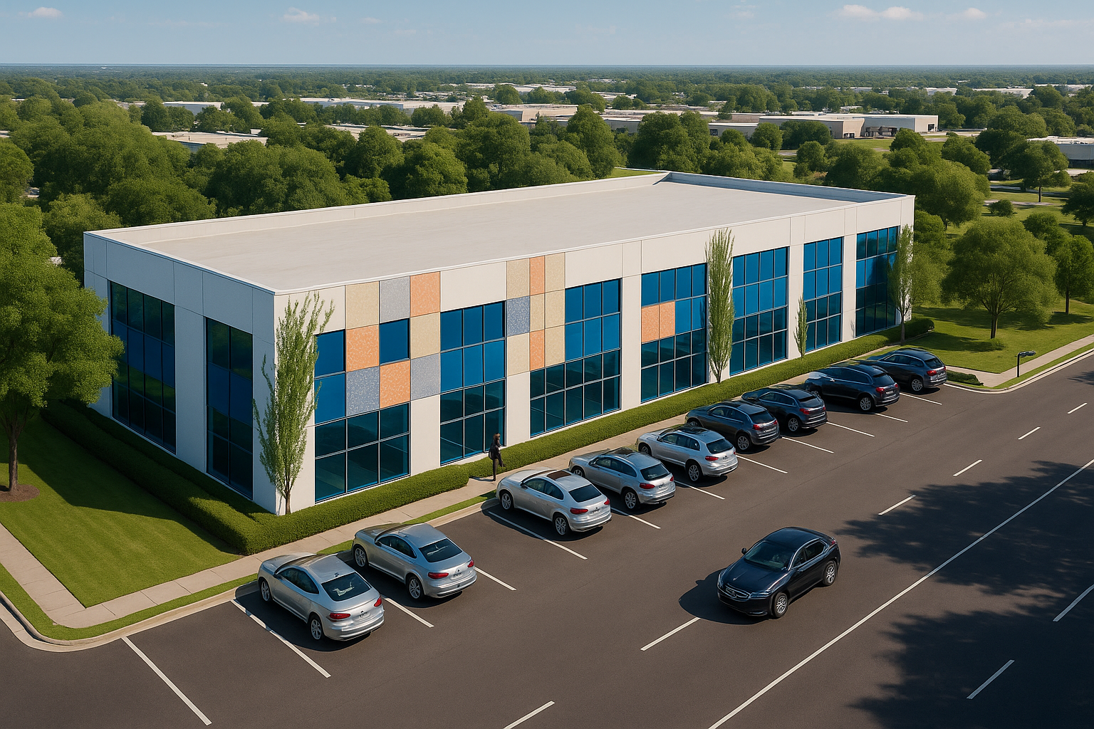
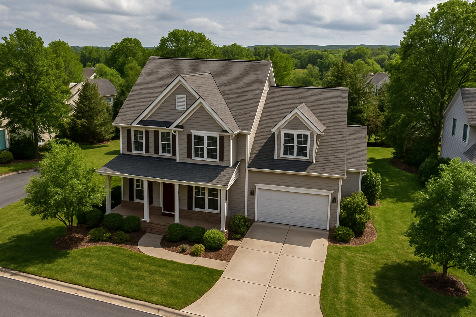
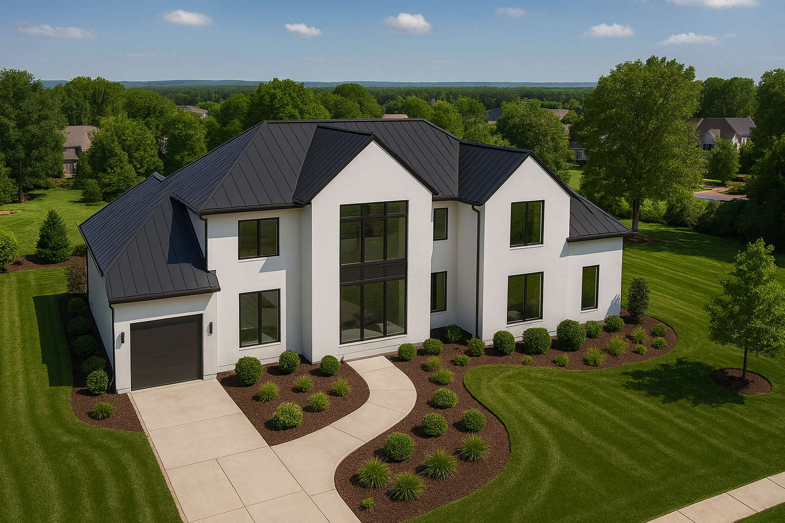
Project Perspective
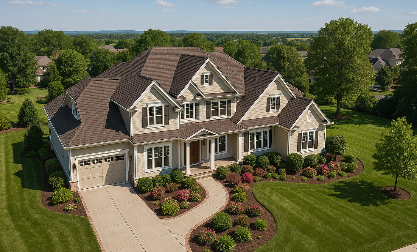
Our aerial view renderings allow you to present your entire project in one cohesive, bird's-eye view,
providing a clear understanding of how individual elements of the design interact with the broader
environment. This perspective makes it easier to visualize complex layouts, zoning, and how the project
integrates with its surroundings whether it's an urban area, coastal development, or countryside
project. Perfect for large-scale developments.
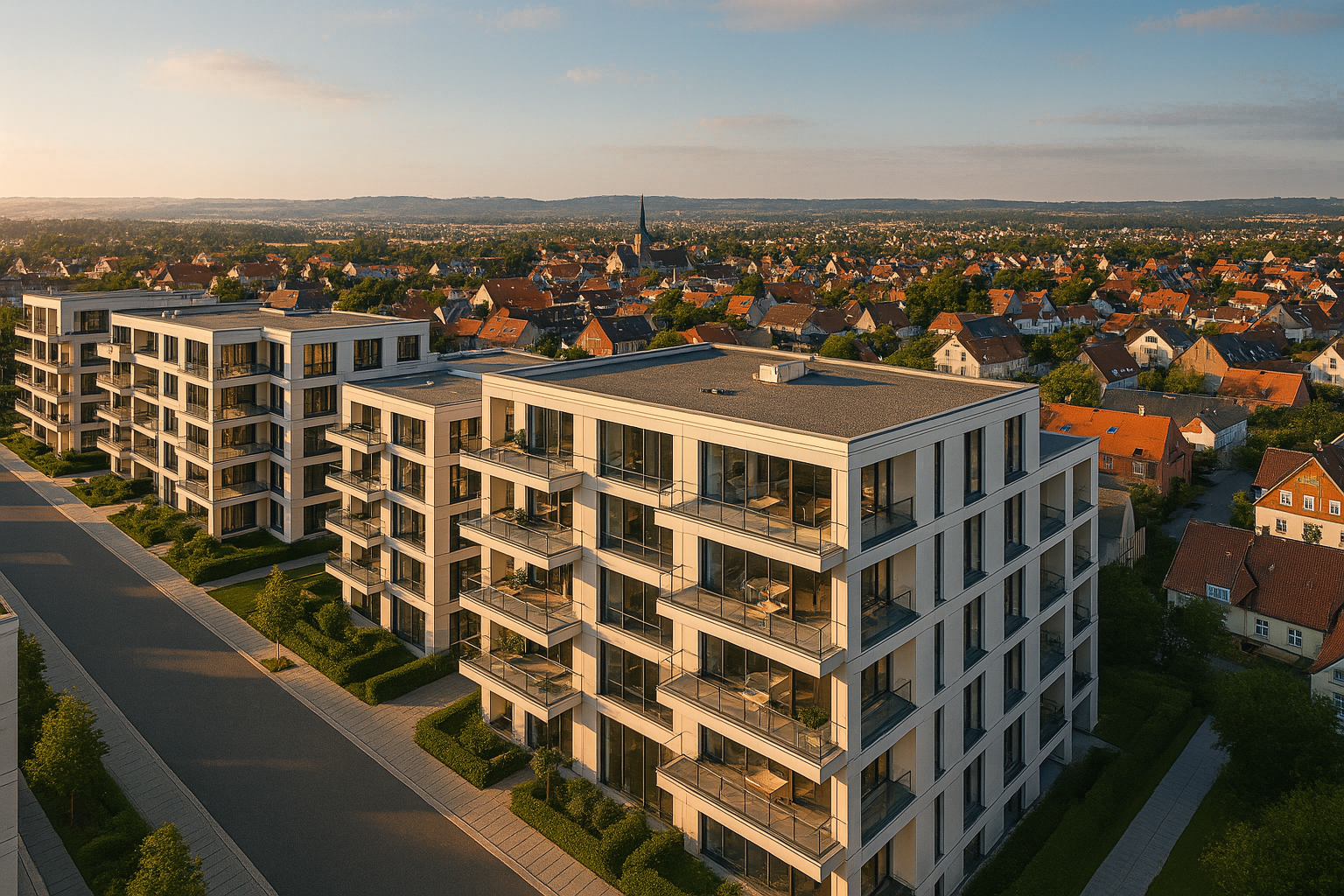
Decision Making
Aerial view renderings provide clients, stakeholders, and decision-makers with a comprehensive
visual tool to evaluate the design in its entirety. This helps in making informed decisions, from
understanding how the building will impact the surrounding area to determining optimal layout and
design elements. It’s a powerful tool for presentations, city planning, and marketing, as it allows
your team to assess and adjust the design before construction begins.
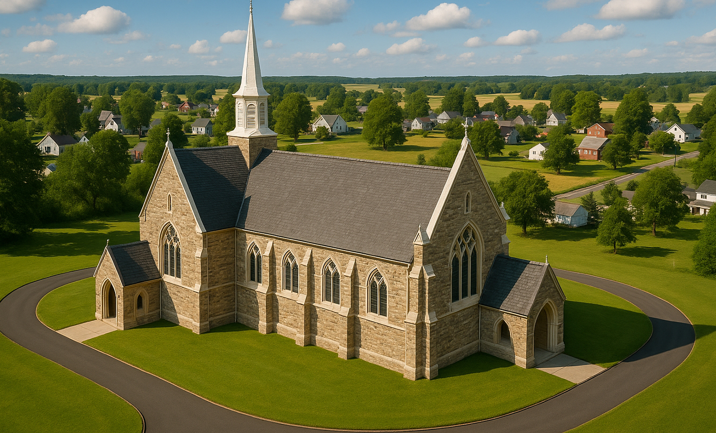
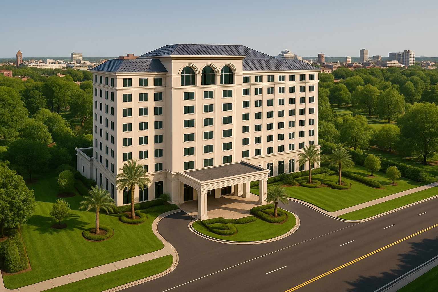
Highly Customizable
We recognize that each project is distinct, and our aerial renderings are tailored to meet your
specific requirements and vision. Whether it's adjusting the camera angle or incorporating unique
landmarks or design elements, we collaborate with you to ensure the final renderings align perfectly
with your concept. From high-rise buildings to residential developments or industrial parks, our
solutions are scalable to accommodate projects of any size or complexity.
Cost-Effective
Our team prides itself on delivering high-quality, photo-realistic aerial renderings within tight
deadlines, ensuring that your project stays on track. We use advanced technology and efficient
workflows to produce renderings quickly while maintaining the highest quality standards. This
service offers clients an affordable alternative to traditional photography or drone shots,
providing a cost-effective way to present and visualize complex projects.
Frequently Asked Questions
+ What are aerial view
renderings?
Aerial view renderings are
high-quality 3D visualizations of properties, developments, or landscapes from a bird’s-eye perspective,
providing a comprehensive view of the project.
+ Why should I use aerial
view renderings for my project?
These renderings help
showcase the full layout, scale, and surroundings of a project, making them ideal for presentations,
marketing, and investor pitches.
+ What industries benefit
from aerial renderings?
Aerial renderings are
valuable for real estate developers, architects, urban planners, construction firms, and marketing
agencies looking to visualize large-scale projects.
+ What details can be
included in an aerial rendering?
We can include realistic
landscapes, roads, lighting, surrounding buildings, greenery, and even animated elements to enhance the
visual appeal and accuracy.
+ How do you create
aerial view renderings?
We use advanced 3D modeling
software, GIS data, and sometimes drone imagery to produce realistic and precise aerial visualizations
of your project.
+ Do I need real drone images to get an aerial
rendering?
No, we can generate fully
digital aerial views or integrate drone imagery if available, ensuring flexibility based on your
project’s requirements.
+ How long does it take to complete an aerial
rendering?
Turn around time depends on
the complexity of the project, but most aerial renderings are completed within 7 to 14 days after
receiving all necessary details.
+ What file formats do you deliver?
We provide high-resolution
images in formats like JPEG, PNG, and PDF, along with video animations or interactive 3D files if
requested.
+ Can I request revisions to my aerial
rendering?
Yes, we offer a set number of
revisions to ensure accuracy and satisfaction, allowing adjustments to details like lighting, textures,
and structures.
+ How much does an aerial view rendering cost?
Pricing varies based on
project complexity, level of detail, and turnaround time, but we offer competitive rates with custom
quotes based on your needs.