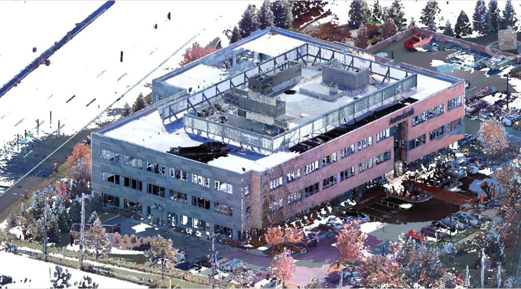
Point cloud is a set of data points in a 3D coordinate system representing the external surface of an object or building including its geometry and color. 3D scanners are used to measure Point cloud data as a set of vector points, which are then converted to accurate BIM models.
Our point cloud to BIM and laser scan to BIM conversion services using Revit empowers construction firms, contractors and surveyors to examine the as-is facility condition and envision the changes needed for renovation. Our point cloud modeling and BIM conversion experts are capable of handling large survey scanned data sets to develop Revit models of educational institutions, healthcare, plants, residential, commercial and industrial buildings other old construction.
Once the point cloud data is received, we export them on to a BIM platform to create an accurate as-built Building Information Model depicting all types of architectural, structural and MEP elements in and around the building. Once the 3D point cloud data is segregated and exported to a BIM package, conventional deliverables like 2D plans, elevations, and sections can be easily extracted.