

Aerial view renderings
See Every Acre Before You Commit Every Dollar
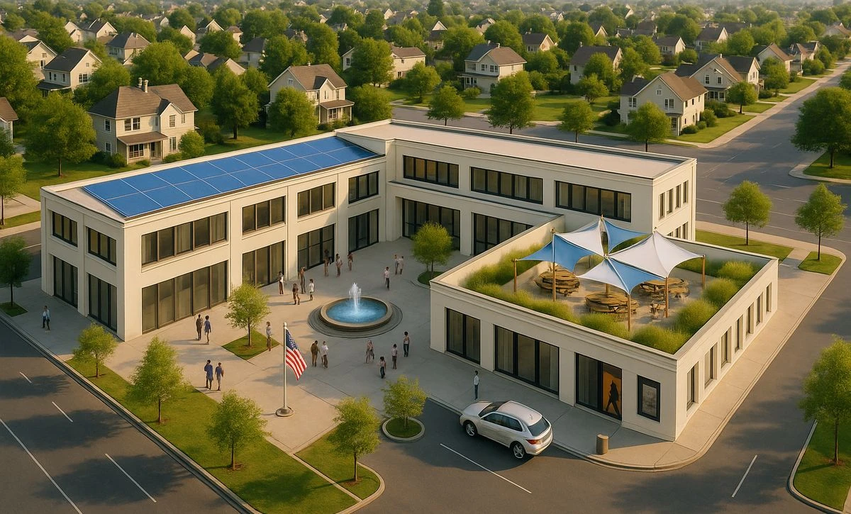
On large sites, the costliest problems sit between the buildings. Our aerial renderings show the whole program in its real setting, so boards approve sooner.
See What Site Delays Cost You- The whole site, in contextBuildings, roads and landscape.
- Fewer approval roundsPlanners see the real impact.
- Capital committed soonerScale and value at a glance.
- Site issues caught earlyAccess and parking checked.
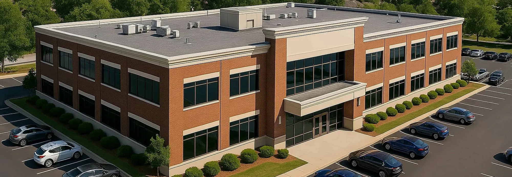 Corporate office park
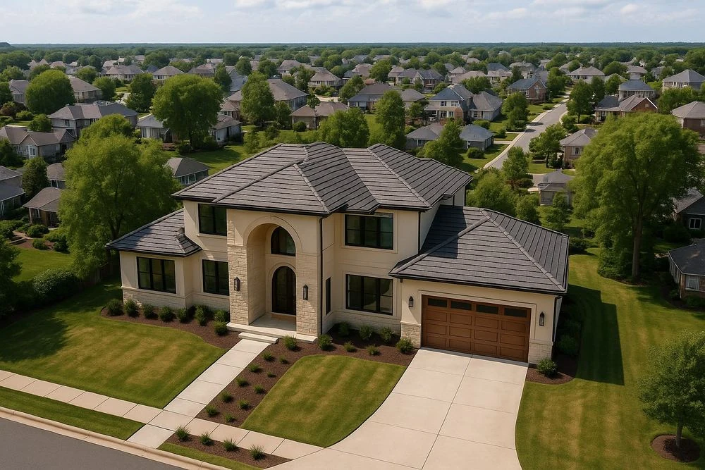 Neighborhood context
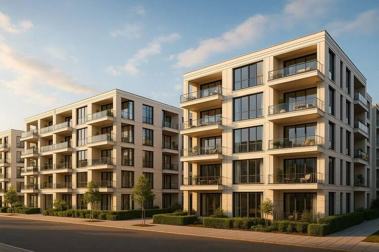
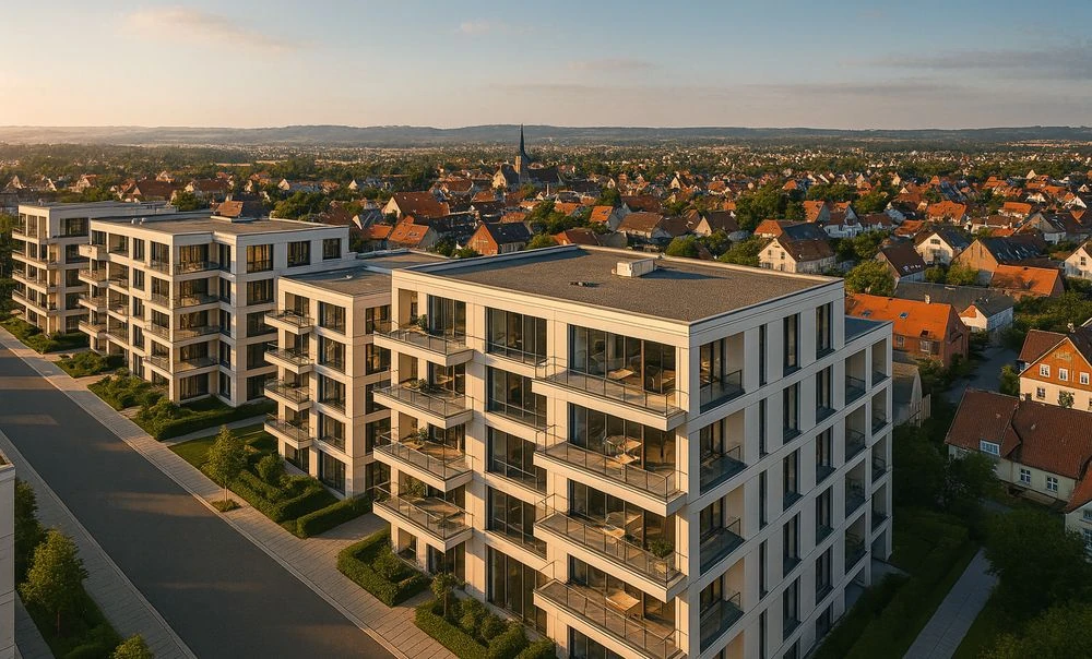 Multi-family community
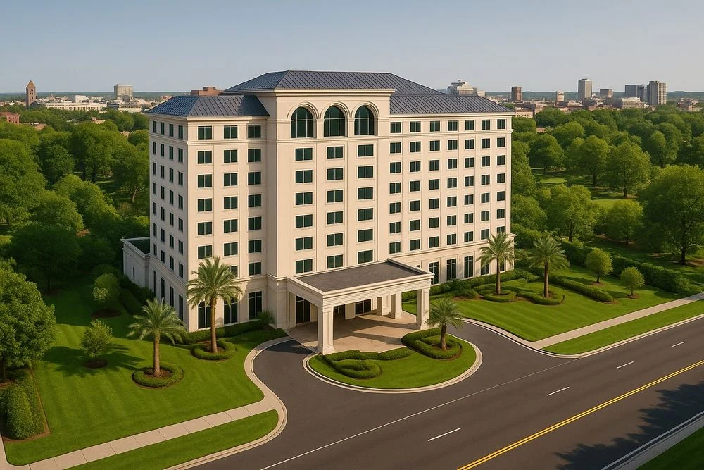 Hotel and hospitality
- 20+Years’ experience
- 1,500+Projects supported
- 350+Engineering professionals
- 80%Repeat clients
Where margin leaks
Site Errors Cost Your Margin
A floor plan shows one building. Programs lose money around it: approvals, access, phasing, neighbours.
Entitlement Delays
- Where margin leaks
- Boards and neighbors cannot judge impact from site plans, so hearings and carrying costs climb.
- What we fix
- Aerial views of massing, traffic and context that answer objections before the hearing.
Site Planning Errors
- Where margin leaks
- Access, parking, grading and phasing conflicts surface only once construction starts.
- What we fix
- The whole site rendered from above, so layout issues are solved on screen.
Hesitant Capital
- Where margin leaks
- Investors and lenders struggle to grasp the scale and value of a large program from drawings.
- What we fix
- One image that shows the whole program and its setting, so capital commits sooner.
Slow Pre-Leasing and Sales
- Where margin leaks
- Tenants and buyers cannot judge location, views or amenities until the site is built.
- What we fix
- Marketing-ready aerials that sell the location months before the site is complete.
What we deliver
Aerial Views That Move Boards, Lenders and Buyers
Master Plan Aerials
Campuses, communities and mixed-use programs in one view.
Site Context Views
The program set into its real roads, landscape and skyline.
Phasing Visuals
Each phase shown from above, for planners and investors.
Day, Dusk and Seasonal Views
Light and mood that match the story you need to tell.
Drone Photo Integration
Your design merged into real drone or satellite imagery.
Aerial Flyovers
Animated flights over the site for boards and marketing.
- We render from
- BIM models
- CAD site plans
- Survey and GIS data
- Drone photos
- Works with
- Architectural Renderings
- Architectural BIM
How it works
Accurate From Above, on Your Deadline
Site data and camera heights are agreed first, so the final images match the real site, not an artist’s guess.
- 01
Share Your Site
Send models, site plans, surveys or drone photos. We set views and confirm the deadline.
- 02
Approve the Views
Draft aerial angles and context agreed before full rendering, so no time is lost on rework.
- 03
Render and Check
Final images checked against your plans and the real site, so every detail is accurate.
- 04
Deliver and Revise
High-res stills or flyovers in your formats, with focused revisions until final sign-off.
How Much Is Every Month of Approvals Costing Your Programs?
A two-minute Margin Assessment shows where your programs leak, in dollars, and what faster approvals could save.
What clients ask first
Aerial View Renderings: Common Questions
Straight answers from our engineering team. If your question isn’t here, ask us directly.
What do your aerial renderings include?
Whole-site and master plan views in their real setting: master plan aerials, phasing views, drone photo integration and flyovers.
Do we need drone photos to get an aerial rendering?
No. We build the surroundings from survey, GIS and map data. If you have drone or satellite imagery, we merge your design into it for an exact real-world view.
How accurate is the site context?
Images are built from your model or drawings and checked against them before delivery, so what owners approve is what will be built. Context is built from survey, GIS or drone data.
Can you keep pace with a large, fast-moving program?
Yes. The team is sized to your program and work is released by phase or view, so nothing waits for the full set. Fees are priced per view or per site and fixed in the proposal with the schedule and revision rounds. You can start with one site view to test the fit first.
Who owns the work, and how is our data handled?
You do. All designs, site data and images we create for you are your property. We sign your NDA before receiving files, exchange them through your preferred platform or a secure link, and limit access to your project team.
Start a conversation
Built for Programs Where Precision Is Never Optional.
For over 20 years, one standard has guided every model, drawing and component. Let’s talk about where your programs are losing margin.
Or write to info@bimgraphix.com
- Response within one business day
- Reviewed by a senior engineer
- Confidential